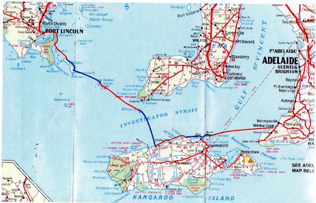
In April of 1995, David Williamson and Malcolm Hamilton paddled sea kayaks from Port Lincoln to Wirrina Cove.
A similar feat was first accomplished by Peter Carter… who returned to Adelaide from Port Lincoln via the bottom of the Yorke Peninsular in 1981.
Here is Malcolm’s account of the 6 day, 280km expedition.
It is a long day’s drive from Wirrina Cove on the Fleurieu Peninsular to Port Lincoln but it takes considerably longer to paddle a sea kayak from Port Lincoln back to Wirrina Cove
That’s exactly what two paddlers, David Williamson and Malcolm Hamilton set out to achieve during April 1995
The cabin at the Kirton Point Caravan Park was organised chaos as the two back-up crew, Dennis and Gloria and the two paddlers checked , organised, sorted out and packed the gear to be used during the coming days.
Overcast sky, hardly a breath of wind and favourable forecast greeted us on our departure day. After nearly eight months of planning, holding many meetings, having much discussion and several training trips, we were ready to go.
It was good to be paddling again; feeling how the fully laden sea kayaks handled.
We headed for the lighthouse at Point Donnington – surprised not to see our back-up crew there – so we paddled on. That’s the great thing about having radios aboard; any unexpected problems can be relayed between the two groups. They were still driving to Point Donnington, having been delayed in Port Lincoln.
A friendly sea lion came to check out who was invading his territory near Carcass Rock, then it was on to Taylors Landing for lunch.The original plan was to head for Taylor Island for an overnight stop. However, several kilometres from the lunch stop we decided that as the weather was favourable, Thistle Island would be our destination.
We landed on the eastern side of the island, just south of Shag Point. Later that night we walked several kilometres to a hight point to make radio contact with our back-up crew who by now were camped at Memory Cove. Our hand-held CB radio was working exceptionally well.
Morning was cool and damp – it had rained overnight but was clearing. We were slow to get away that morning, but soon gained our paddling rhythm past the impressive cliffs on our way to Whalers Bay.
There we stopped for an hour or
so and caught up with Murray Franklin and John and Jenny Hussey; people we had previously phoned to gain permission to camp on Thistle Island.
Their hospitality was appreciated but Wedge Island beckoned; and time was running out.
Being 206m at its highest point, Wedge island is visible from Thistle Island, so off we set, our goal clearly in view.
The rolling Southern Ocean swells from the SW combined with moderate NW winds made for choppy seas; conditions that made paddling in the right direction awkward.
Luckily the long beach on the northern side of Wedge Island offers a safe landing as we arrived there after dark. Our guide for the last few kilometres was a light atop a boat’s mast.
David checked out the only house with a light to ask for permission to camp. We were invited to spend the night at the house – the hospitality was certainly appreciated.
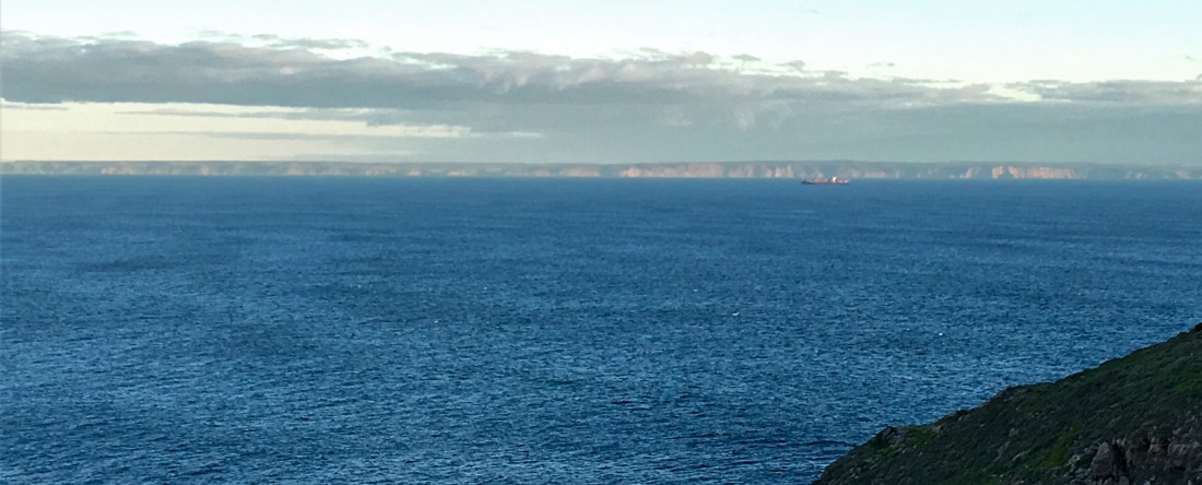
Our host John Culshaw had insisted that we visit the sea cave “around the corner” so the next morning we did – It was certainly impressive. We checked our compass bearings for distant Althorpe Island and set off in good paddling conditions. It was several hours before we caught a glimpse of Althorpe from the top of a wave, and several more before it was in constant view.
About midday we were able to contact our backup-crew who informed us they were stationed at Cape Spencer. High-tide leaves very little beach on Althorpe Island and landing after sunset complicates that further.
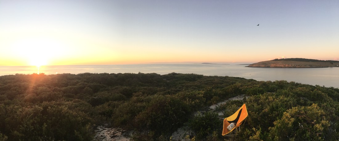
Next morning, we were up in time for a spectacular sunrise and to make things even better, almost perfect paddling conditions for the crossing of Investigator Strait to Kangaroo Island.
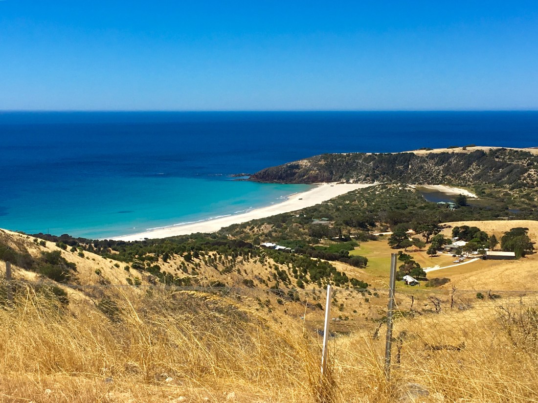
By late afternoon we had safely landed at Snellings Beach.
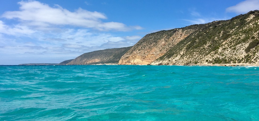
The next day’s paddling was considerably shorter, so we followed the spectacular coastline of Northern Kangaroo Island exploring as many of the features as possible.
Dashwood Bay was our overnight stop. Here we were reunited with our back-up crew and over a pleasant mean, good wine and a campfire, exchanged the details of the happenings during the past few days.
Dashwood Bay to Boxing Bay was our shortest day’s paddle, so after cruising the offshore reefs we were at our destination for lunch.
The afternoon was spent relaxing and preparing for the longest leg of nearly 60km to Wirrina Cove.
As the weather was holding for us it was decided to finish the trip by going straight to Wirrina and not land at Rapid Bay.
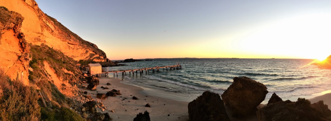
Just after 7pm we pushed our kayaks into the calm water for the final leg. Time drags during long, open crossings so every hour or so we would break the paddling with food, drink and radio stops. Slowly the distance features of Rapid Head, then Wirrina Cove itself become clearer. Just prior to landing, the Channel 7 helicopter “buzzed” us and nearly succeeded in blowing both of us into the water! We landed at the Wirrina Cove ramp just after 5m to be greeted by a television crew, a back-up crew, and several of the Wirrina staff and a bottle of champagne – a pleasing way to finish the 280km paddle!
Malcolm Hamilton, 1995